Advanced PostGIS Spatial SQL
Introduction to PostGIS Raster
Raster Data in PostGIS
So far, we've focused on vector data: points, lines, and polygons that represent distinct objects like cities, roads, or property lines. But there's another major category of spatial data called raster data. Think of a raster as a grid of cells, much like the pixels in a digital photograph. Each cell in the grid has a value that represents some characteristic, like temperature, elevation, or a specific color in an aerial image.
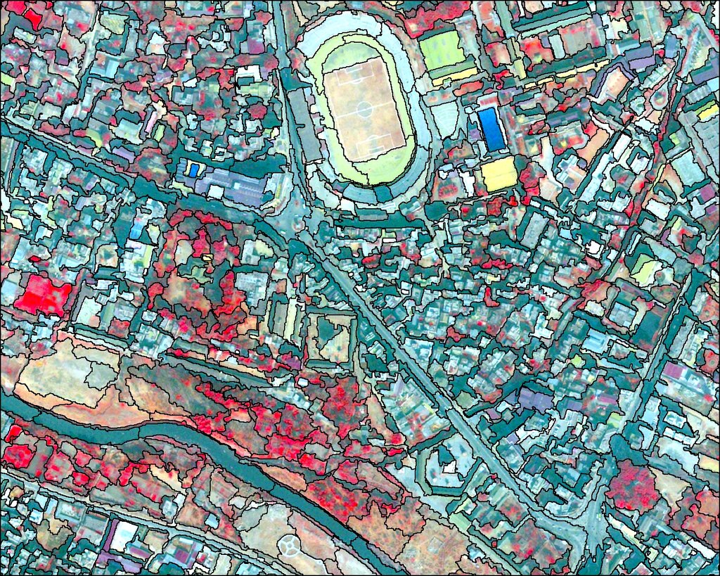
While vector data is great for representing discrete boundaries, raster data excels at representing continuous phenomena that change across a landscape. Storing this data directly in your database allows you to combine it with your vector data for powerful analysis. For this, PostGIS provides a special tool: the raster extension.
Raster vs. Vector
The key difference between the two data types lies in how they represent the world. A vector defines an object with explicit coordinates. A raster divides the world into a grid and assigns a value to each cell.
| Feature | Vector Data | Raster Data |
|---|---|---|
| Structure | Points, lines, polygons | Grid of cells (pixels) |
| Represents | Discrete objects (e.g., roads, buildings) | Continuous surfaces (e.g., elevation, temperature) |
| Storage | Coordinates defining geometry | A matrix of cell values |
| Example | A shapefile of all US state borders | A satellite image of the Earth |
The real power of PostGIS comes from its ability to handle both types of data together. You can ask questions that involve both vectors and rasters. For example, you could calculate the average elevation (raster data) for a specific parcel of land (vector data) or find all roads (vector data) that pass through areas with a certain soil type (raster data).
Combining raster and vector data lets you layer different kinds of information to uncover deeper insights. You can overlay precise boundaries on top of continuous environmental data.
Enabling the Raster Extension
PostGIS raster functionality isn't enabled by default; you need to add it to your database. This is a one-time operation for each database where you want to store raster data. You can enable it by running a simple SQL command.
CREATE EXTENSION postgis_raster;
Once this command is successfully executed, your database is equipped with a new set of data types and functions specifically designed for raster data. This setup paves the way for loading, processing, and analyzing grid-based spatial data directly within PostgreSQL.
Now that the extension is enabled, you're ready to start working with raster data. The next step is to learn how to load raster files into your database and begin querying them.