Advanced Map and Compass Navigation Techniques
Declination Mastery
The Two Norths
When you stand in a field holding a compass, the needle points to Magnetic North. When you look at a map, the vertical lines point to True North. These are not the same place. True North is the geographic North Pole, a fixed point on the globe. Magnetic North, however, is a wanderer. It’s the spot your compass needle is attracted to, generated by the molten iron sloshing around in the Earth's outer core.
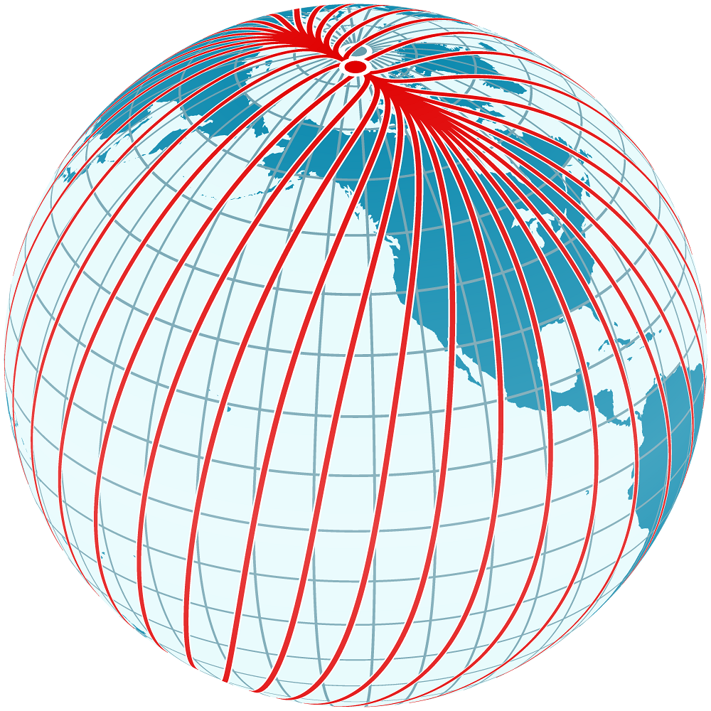
The angular difference between True North and Magnetic North from your specific location on Earth is called magnetic declination. Getting this right is the key to moving from casual direction-finding to precise navigation. Without accounting for declination, a walk that should be a straight line on your map can become a wide, inaccurate arc in the real world.
Finding Your Declination
Fortunately, you don't have to guess this value. Every good topographic map includes a declination diagram in its marginal information. This diagram shows the relationship between three different norths: True North (usually marked with a star), Grid North (marked 'GN'), and Magnetic North (marked 'MN').
The crucial value for you is the angle between Grid North and Magnetic North, known as the —this tells you exactly how to adjust a bearing taken from your map's grid lines to match your compass. Because the magnetic pole is constantly moving, this angle also changes slightly every year. The map diagram will state the declination for the year it was printed and provide the rate of annual change. You must calculate the current value to be accurate.
For example, if your map from 2018 shows a G-M angle of 11° West with an annual change of 0.1° East, and it's currently 2024, the declination has shifted eastward for 6 years. That's a total change of East. The new declination is West.
Adjusting Your Compass
Once you have the correct, current declination, you need to apply it. There are two primary methods, depending on your compass.
Many modern baseplate compasses have an adjustable declination. This is often a tiny screw on the bezel that you can turn with a key or a small screwdriver. You simply set the declination scale to your calculated value, and the compass does the rest. The orienting arrow inside the housing will be offset from North on the bezel, automatically correcting every bearing you take. This "set it and forget it" method is the most foolproof.
If your compass doesn't have adjustable declination, you'll need to do the math yourself every time you take a bearing. This is where the classic mnemonic comes in handy: East is Least, West is Best. This tells you whether to add or subtract the declination value.
To Adjust Your Navigation for Declination Without a Dial- East is least, west is best. (Subtract when declination is in the east, add when it’s in the west.)
Let's walk through it. Imagine you've measured a bearing of 65° on your map from your current position to a distant peak.
Scenario 1: 12° West Declination
- "West is Best," so you add.
- Map Bearing (65°) + Declination (12°) = Compass Bearing (77°)
- You will turn your compass dial so 77° lines up with the direction-of-travel arrow and then turn your body until the magnetic needle is inside the orienting arrow.
Scenario 2: 8° East Declination
- "East is Least," so you subtract.
- Map Bearing (65°) - Declination (8°) = Compass Bearing (57°)
- You'll set your compass to 57° to walk the correct path.
Mastering this conversion is non-negotiable for accurate off-trail navigation. It ensures the lines you draw on your map translate perfectly to the ground beneath your feet.
Time to check your understanding. These questions will test your ability to calculate and apply magnetic declination in different scenarios.
What is the term for the angular difference between True North and Magnetic North at a specific location?
You are using a topographic map printed in 2019. The marginal information states the Grid-Magnetic (G-M) Angle is 7° West with an annual change of 0.1° East. What is the correct G-M angle to use in 2024?
By understanding the two norths and how to correct for their difference, you've unlocked a new level of navigational precision. With this skill, your map and compass become a truly reliable system for exploring the wild.