A Journey Through Uttarakhand's Past
Geological Formation
The Himalayan Collision
The story of Uttarakhand's landscape begins with one of the most powerful events in Earth's history: the collision of two massive tectonic plates. About 50 million years ago, the landmass that is now the Indian subcontinent, drifting northwards, slammed into the Eurasian plate. This was not a quick crash, but a slow, relentless grinding that continues to this day.
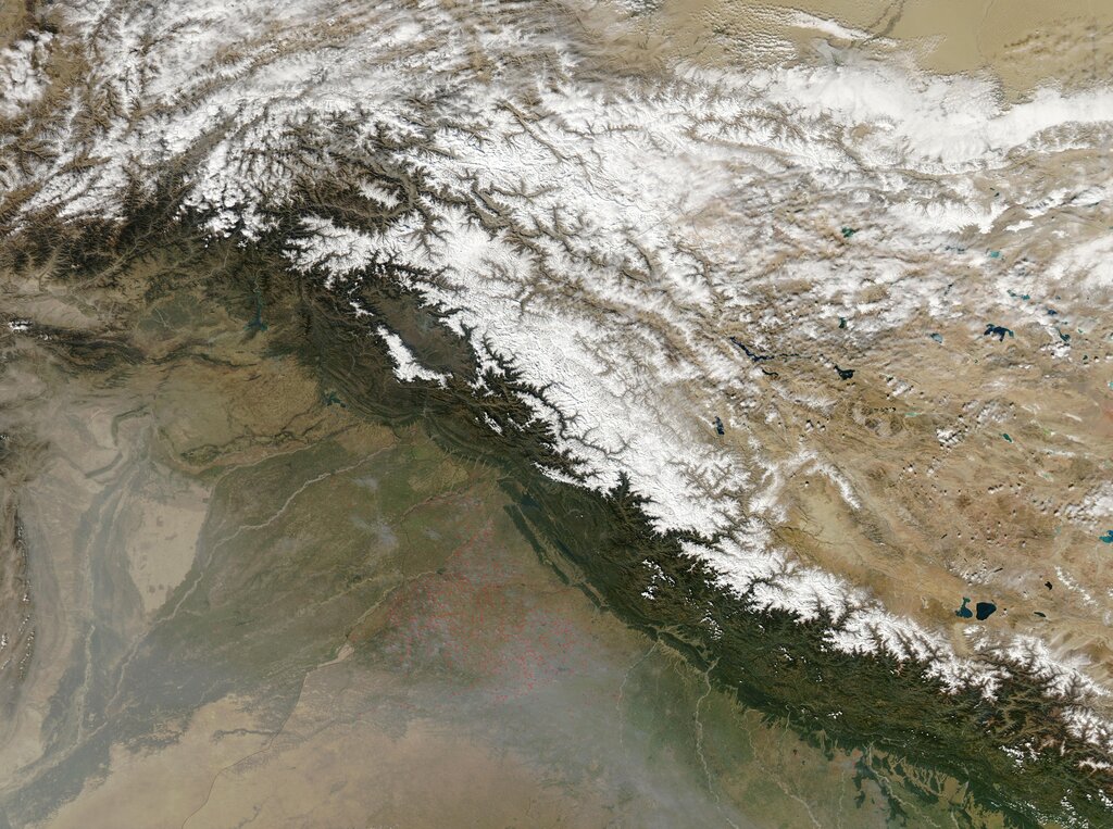
Imagine pushing two rugs together. As they meet, the material has nowhere to go but up, creating folds and wrinkles. The collision of the Indian and Eurasian plates worked in a similar way, but on an immense scale. The immense pressure buckled the Earth's crust, forcing rock layers to fold, fracture, and thrust upwards. This process, called orogeny, gave birth to the Himalayan mountain range, the youngest and tallest in the world.
Carving the Landscape
The tectonic collision raised the mountains, but water and ice gave them their present shape. As the Himalayas grew, they altered weather patterns, creating glaciers and powerful rivers. These became the primary tools of erosion, sculpting the land over millennia.
The great rivers of northern India, including the Ganges and the Yamuna, originate from glaciers in the Uttarakhand Himalayas. Fed by melting snow and monsoon rains, these rivers carved deep, V-shaped valleys as they rushed down the steep slopes, carrying away rock and sediment.
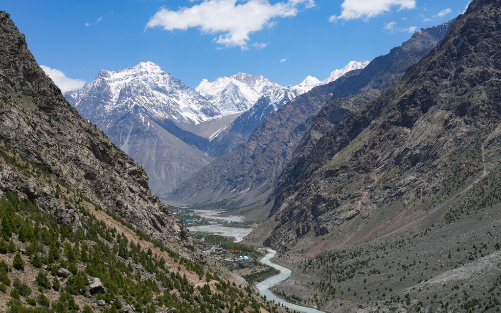
During colder periods, massive glaciers flowed through these valleys. Like giant conveyor belts of ice and rock, they scraped and ground the valley floors and sides, widening them into the characteristic U-shape we see in many parts of the high Himalayas today. The combination of river and glacial erosion created the region's dramatic topography of sharp peaks, steep gorges, and terraced valleys.
Living on the Slopes
This dynamic geology has profoundly shaped life in Uttarakhand. Human settlement has always been dictated by the landscape. People naturally gravitated towards river valleys, where water was accessible and the soil, enriched by river-deposited silt, was more fertile. Flatter areas on valley floors or gentler slopes became the sites for villages and towns.
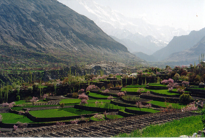
The steepness of the terrain presented a major challenge for agriculture. To overcome this, inhabitants developed the technique of terrace farming. By cutting step-like platforms into the hillsides, they created level plots of land for cultivation. This not only prevented soil erosion but also allowed them to efficiently manage water for irrigation.
The geology also determined the availability of resources. The types of rock dictated where building materials could be quarried, and the process of erosion exposed different mineral deposits. The very structure of the land, from the direction a valley faces to the angle of its slopes, influenced everything from the local climate to the types of crops that could be grown, weaving the geological story of Uttarakhand into the daily lives of its people.
Now, let's test your understanding of how this incredible landscape was formed.
What major geological event led to the formation of the Himalayas?
The primary forces that sculpted the mountains into their present shape after they were uplifted were water and ____.
The geological forces that raised these mountains are still at work, continuously, if slowly, reshaping the land.