LiDAR Data Acquisition Essentials
Introduction to LiDAR
Seeing with Light
How do self-driving cars see the road? How do we create detailed 3D maps of entire forests, right down to the forest floor? Often, the answer is LiDAR. The name stands for Light Detection and Ranging, and the concept is surprisingly simple.
LiDAR works by sending out a pulse of laser light and measuring how long it takes for that light to bounce off an object and return. Since the speed of light is constant, the system can calculate the precise distance to that object.
Imagine throwing a tennis ball against a wall and timing its return. By doing this over and over in different directions, you could map out the room. A LiDAR sensor does the same thing, but with millions of laser pulses every second. Each returning pulse provides a single point in space. Together, these points form a massive, detailed 3D map called a “point cloud.”
A Brief History
LiDAR technology emerged in the 1960s, not long after the invention of the laser itself. Its early applications were specialized and often experimental. One of its first major missions was out of this world, literally. In 1971, NASA's Apollo 15 mission used a laser altimeter, a form of LiDAR, to map the surface of the Moon with remarkable accuracy.
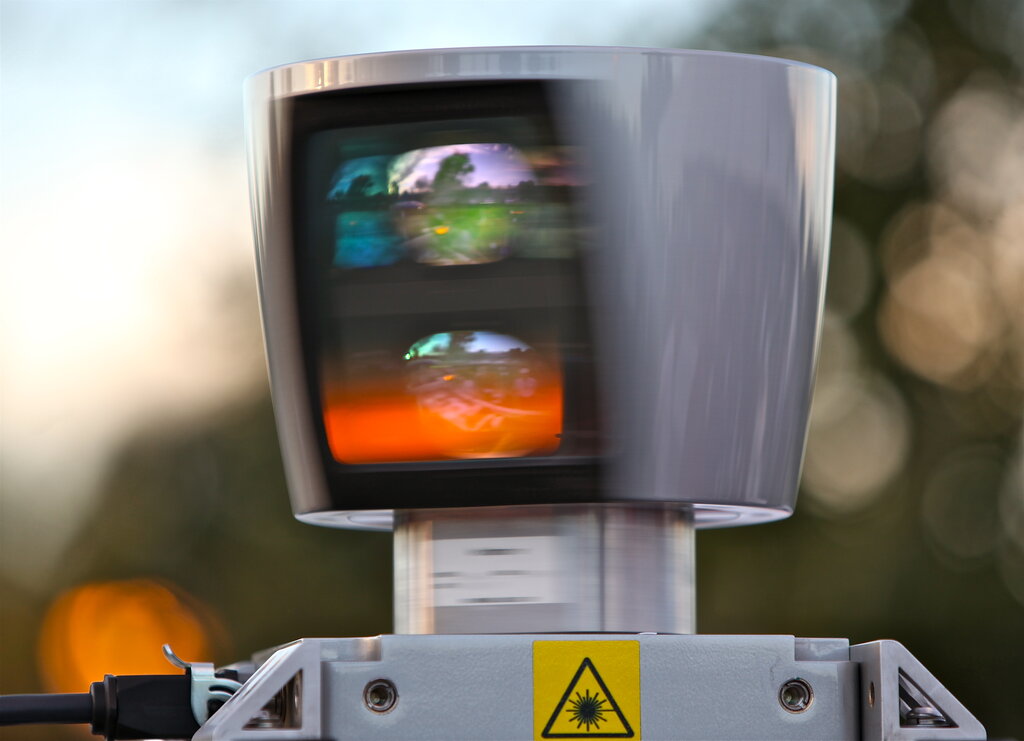
For decades, LiDAR remained an expensive, niche technology primarily used in aerospace and large-scale mapping projects. However, as the components became smaller, cheaper, and more powerful, its use began to expand dramatically. The push for autonomous vehicles in the 21st century, in particular, has accelerated its development and adoption into new fields.
A World of Applications
Today, LiDAR's ability to create precise 3D models has found uses in countless industries. It has become a fundamental tool for understanding and interacting with the physical world.
Autonomous Vehicles: Self-driving cars use LiDAR as their primary “eyes,” building a 360-degree, real-time map of their surroundings to identify pedestrians, cyclists, other cars, and road hazards.
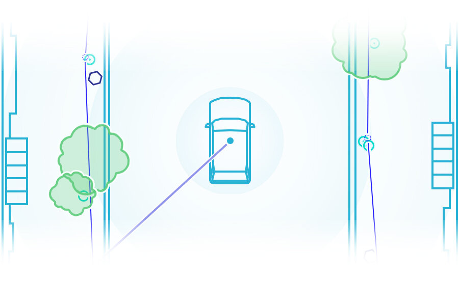
Topographic Mapping: Mounted on airplanes or drones, LiDAR systems can map vast areas of land. They can even penetrate forest canopies to map the actual ground level, which is invaluable for flood modeling, geology, and infrastructure planning.
Forestry and Agriculture: LiDAR helps manage forests by measuring tree height, canopy density, and overall biomass. In agriculture, it can analyze field topography to optimize irrigation and crop planting.
Urban Planning and Archaeology: Planners create detailed 3D models of cities to simulate new construction or analyze sun exposure. Archaeologists use LiDAR to uncover ancient ruins hidden for centuries under dense vegetation, revealing the outlines of buildings and roads.
What does the acronym LiDAR stand for?
What is the massive, detailed 3D map created by a LiDAR sensor called?
From mapping the moon to guiding a car through city streets, LiDAR has become a powerful technology for measuring and visualizing our world.